Site 3 (No longer available)
Data
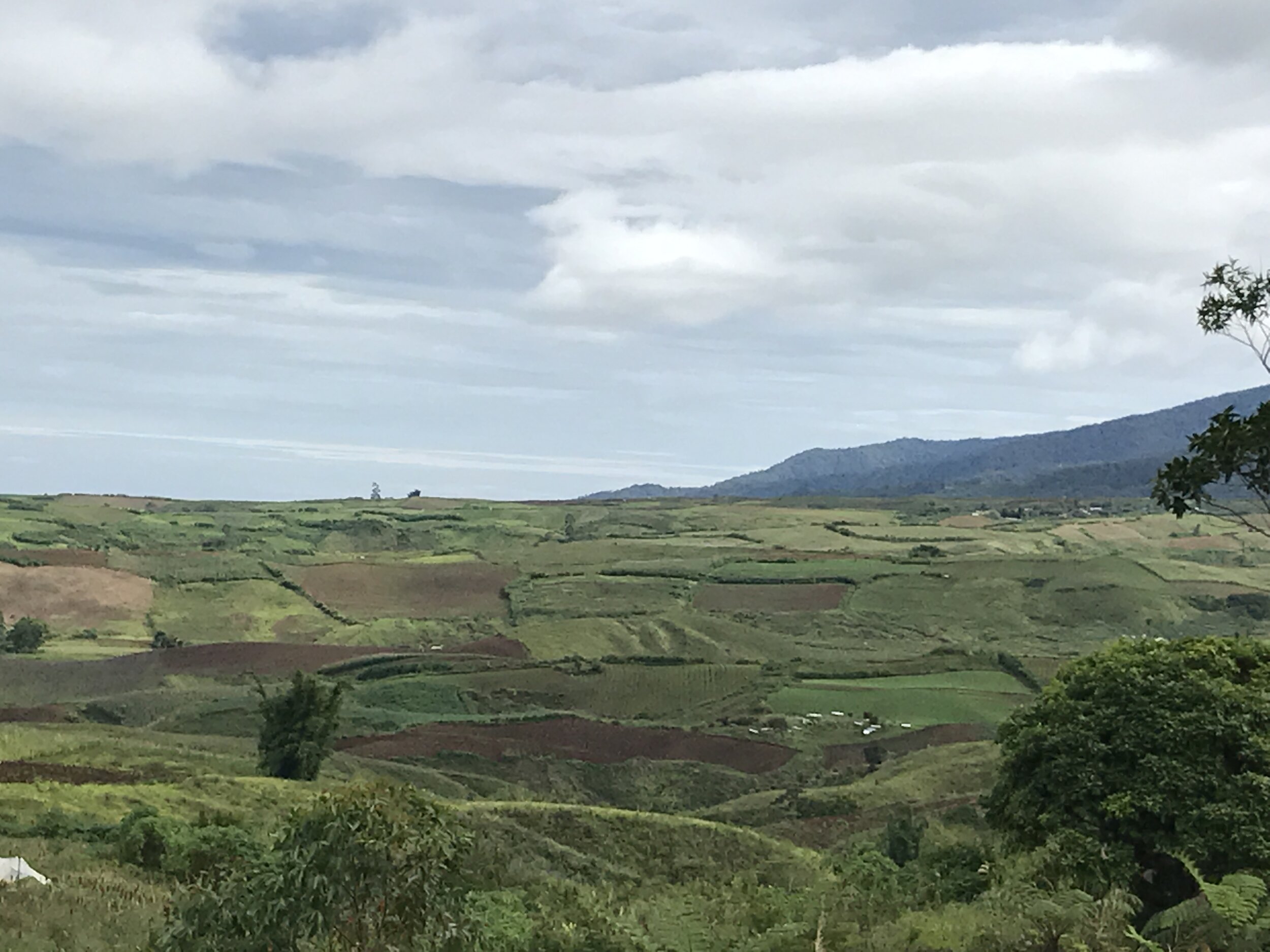
Land. 10 or 20 ha. (initially) + more than 50 ha. for expansion. 100 ha. (broken).
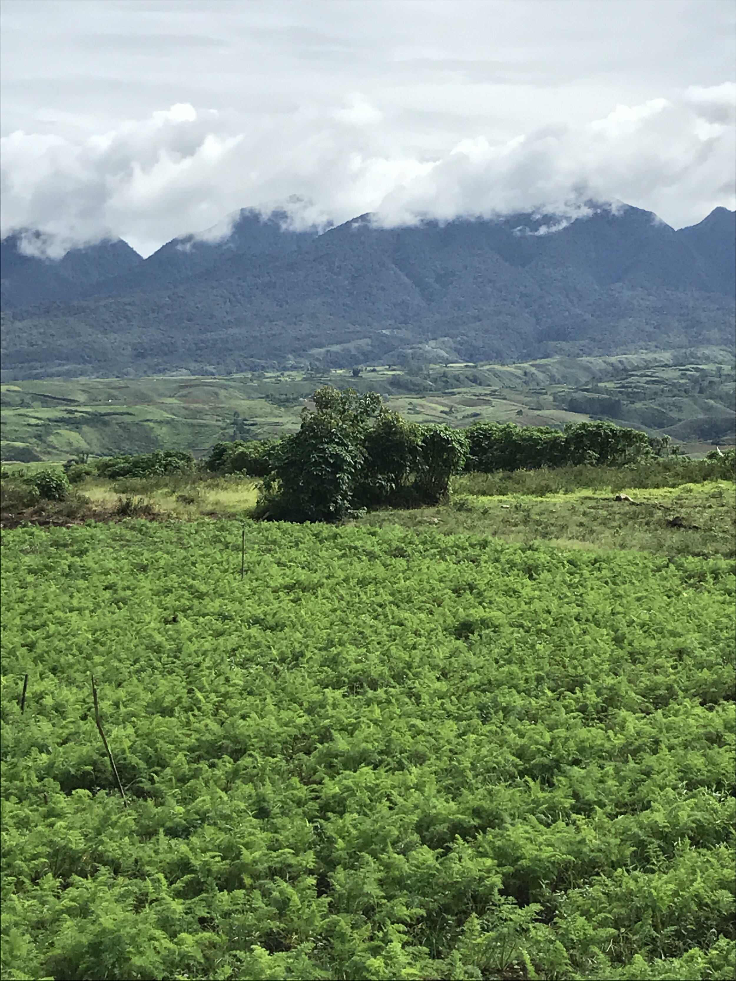
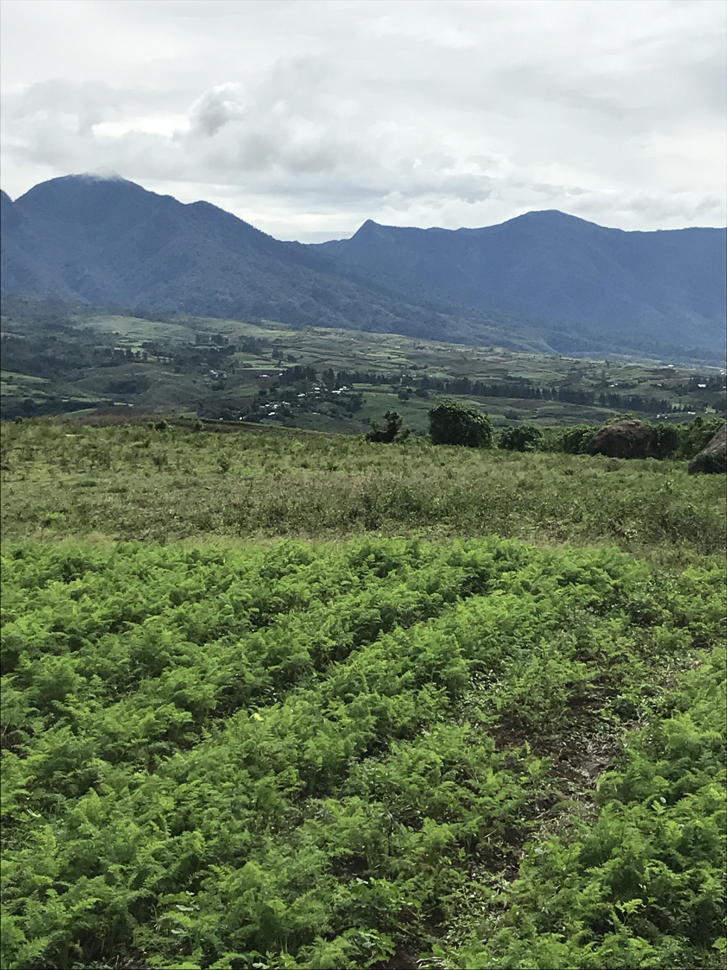
Elevation. 1200 m. above sea level
Terrain. Slightly rolling.
Land preparation method. Cultivated and planted with cash crops for the local markets.
Preferred Farming Method. Organic farm (active).
Irrigation/Water Sources. Developed natural spring from Mt. Kalatungan, 4 kms. from site via pipes .
Power Source. There is electricity in the area. Solar power is also offered by the Dept. of Agriculture.
Number of Workers. In operation, befitting land size.
Dwelling Structures. Near populated communities. A habitat on site may be built, if necessary.
Climate. Tropical
Temperature. 24.6 °C (annual average). Warmest month is May (ave. temp of 25.4°C). Coolest month is January (ave. temp of 23.7 °C)
Rainfall. 2452 mm (annual average). Precipitation varies 256 mm between the driest month and the wettest month. Average temperatures in a year vary by 1.7 °C.
Driest month is March with an average of about 89 mm of precipitation. The most precipitation is in September with an average of about 345 mm.
Storage/Drying Facilities. None. However, there is ample space to build structures to facilitate the drying process (natural sun/air or machine) on site.
Neighboring farms. Cash crops for local markets.
No cattle farms in area.


